
Map of Fernando de Noronha: Complete Guide by Area
By Danilo Dirê · Updated 2026 · 6 min read
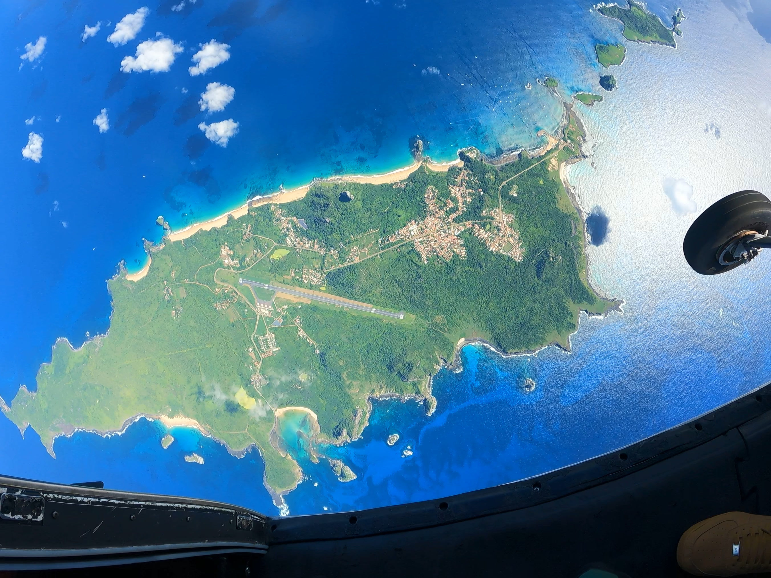
Fernando de Noronha can be divided into three main areas: Mar de Dentro (inner sea), Mar de Fora (outer sea) and Vila dos Remédios. Understanding this geography before you arrive is the key to planning a logical, unhurried itinerary — so you're not criss-crossing the island unnecessarily every day.
The three areas
How the island is organised
Mar de Dentro
Beaches: Conceição, Boldró, Americano, Porto, Cachorro, Meio
Calmer sea, better for swimming and paddling. Great for the outrigger canoe. The natural pools (Morro de Fora, Buraco do Galego, Lasca da Véia) are located on this side.
Mar de Fora
Beaches: Sancho, Sueste, Leão, Cacimba do Padre, Baía dos Porcos
Stronger, open ocean swells. Where you'll find the most iconic park beaches. The Ilha Tour covers this entire side.
Vila dos Remédios
The island's main village. Restaurants, shops, the historic church (Nossa Senhora dos Remédios), most accommodation and the airport.
Insider tips
Practical geography for your trip
- The Ilha Tour on your first full day (not the arrival day) is the best way to understand the island's geography — the guide explains each area in context.
- Group Mar de Dentro and Mar de Fora activities on separate days to avoid unnecessary back-and-forth.
- The natural pools (Morro de Fora) must be timed to the low tide — always check the tide table for the day.
- There is only one main road (BR-363) running the length of the island — getting around is straightforward once you have your bearings.
Keep reading
Related tours

Shared Ilha Tour
80% of the island in one day, with a certified guide.
Learn moreShared Ilha Tour in Fernando de Noronha
The most complete tour on the island: 80% of Fernando de Noronha in a single day, with a certified guide telling the story behind every viewpoint and beach. It's the ideal starting point for anyone just arriving.
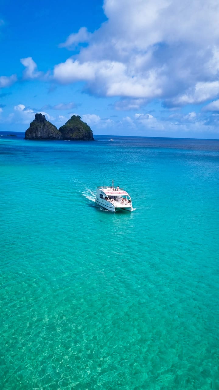
Traditional Boat
A stop at Baía do Sancho for snorkeling.
Learn moreTraditional Boat in Fernando de Noronha
Sailing past the secondary islands and the inner-sea beaches, with a stop of about 40 minutes at Baía do Sancho for snorkeling — one of the few tours that reaches this bay.